
News from around the web with a GIS / tech / spatial slant. If you find something we might like to post here or you'd like to submit your own article, please contact us. If we use your article we'll send you a free 4GB USB!
LLMs are not very good at the question of "Where?" - but if you give them access to Open Street Map (geocoder and all) they get a lot better. In ...
by O Burdekin
click to read more...
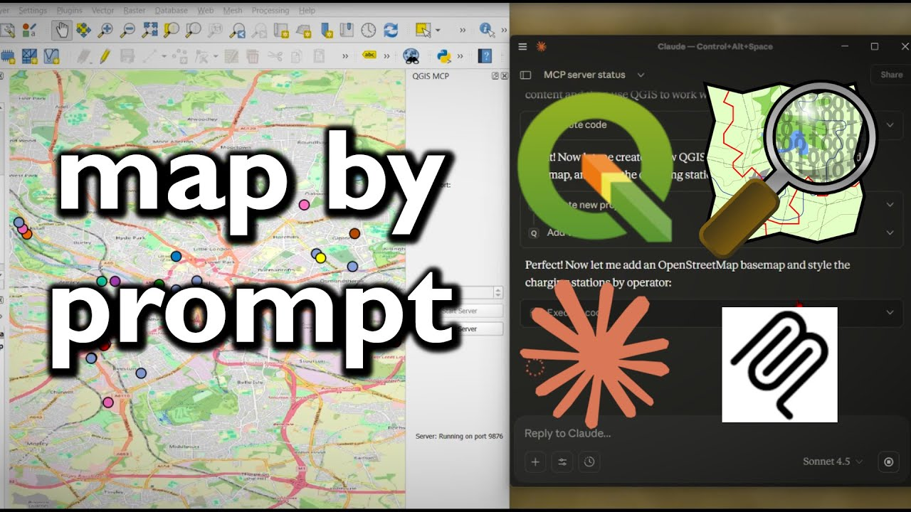
QGIS MCP connects QGIS wtth agentic AI through Claude desktop. And the results are... surprising.
by O Burdekin
click to read more...
In this video I look at using geoparquet to download buildings and building heights using QGIS.
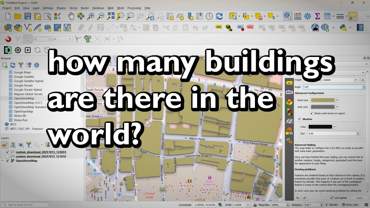
by O Burdekin
click to read more...
Viewer Miro had a question about downloading xyz tiles for offline use. You can do this by making your own .mbtiles files in QGIS.
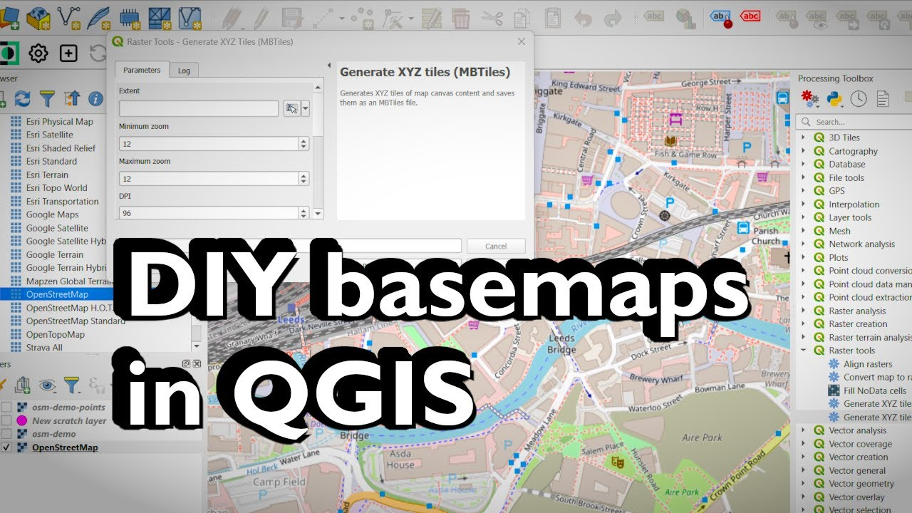
by O Burdekin
click to read more...
Learn how to use the Python console in QGIS to add XYZ tile basemaps, print the CRS of every layer, and count features automatically. I also show how ChatGPT can ...
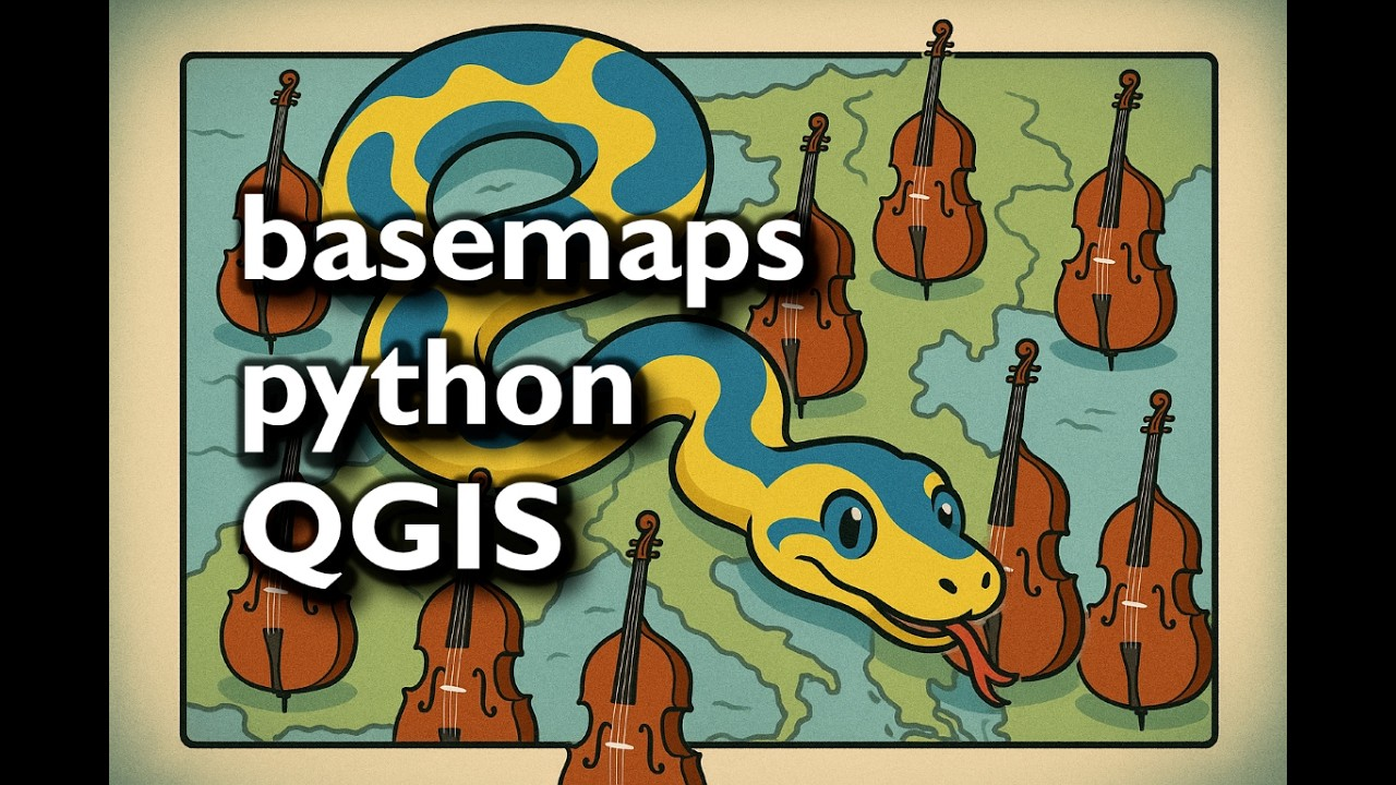
by O Burdekin
click to read more...
Public engagement with Mergin Maps projects is a great way to crowd source data collection. I've recently been working with Derbyshire Historic Buildings trust on their Buildings at Risk project ...

by O Burdekin
click to read more...
Dive into the advanced functionalities of QGIS with our latest tutorial video. Learn how to create and manage user profiles, install plugins from ZIP files, and see the AGS Tools ...

by O Burdekin
click to read more...
We're excited to announce our latest tutorial video focusing on advanced editing techniques in QGIS. Whether you're a seasoned GIS professional or just starting out, this tutorial will enhance your ...

by O Burdekin
click to read more...
In this video we're diving into how you can clip all layers in a GeoPackage by the extent of the main map window. We've previously walked you through how to ...

by O Burdekin
click to read more...
Get ready for a revolution in AGS4 data handling in QGIS! Our new plugin is set to transform your geotechnical workflows and contaminated land management. We're also launching an exciting ...

by O Burdekin
click to read more...
ChatGPT in QGIS: How to Use the Latest QChatGPT Plugin (v0.3) by Marios Kyriakou for Geocoding, Python Scripting, and More!

by O Burdekin
click to read more...
SQL (structured query language) is like a data-superpower. Many databases can be queried using SQL and you can use it to create, update, delete, slice and dice your data.

by O Burdekin
click to read more...
esri app test

by O Burdekin
click to read more...
Overview, inset, context, locator! Many names for these maps and many minutes in this video tutorial. Here we look at more than just creating inset maps - creating shoreline effects, ...

by O Burdekin
click to read more...
In this video tutorial we look at using SAR data, Google Earth Engine and QGIS to identify what might be oil spills in Nigeria.

by O Burdekin
click to read more...
In this guest post written by Chris Hutchinson we take a look at TravelTime, an alternative to Network Analyst extension in ArcGIS Pro.

by Chris Hutchinson
click to read more...
Here's how to bring Excel tables into QGIS 3. The first part looked at CSVs.

by O Burdekin
click to read more...
Thanks to North Road, crowdfunding and some reverse engineering it is now possible to convert esri's ArcGIS .lyr symbology to QGIS .qml styles.

by O Burdekin
click to read more...
ArcGIS online (AGOL) is a great tool and here we look at joining data from a csv to a dataset of country outlines. Don't forget to check the training page ...

by O Burdekin
click to read more...
Graphical modeler in QGIS allows you to record workflows and better manage and manipulate your data. Models can be shared with colleagues and results and methods are repeatable. Automating workflows ...

by O Burdekin
click to read more...
In this video tutorial we take a look at using US election data and producing a value by alpha map (like a choropleth map but with a smoother colour scheme). ...

by O Burdekin
click to read more...
Google Earth Engine is a very powerful tool providing access to a huge number of earth observation datasets. Rather than having to heavy processing on your own machine, Earth Engine ...

by O Burdekin
click to read more...
In this GIS video tutorial we'll take a look at automating the application of style files to our free Ordnance Survey vector data usiing Python. We're using QGIS 3.4.15.

by O Burdekin
click to read more...
How do you make a webmap? Well, it couldn't be easier today. QGIS has had several plugins developed to help with the process. In this series of video tutorials we ...

by O Burdekin
click to read more...
Operation Wallacea have been working in Cusuco National Park for over 10 years. Long term standardised monitoring of a cloud forest such as Cusuco is rare. This web map allows ...

by O Burdekin
click to read more...
Coordinate systems are crucial to GIS and the first port of call is to understand different ways coordinate systems can be written. Often you will encounter different formats (especially when ...

by O Burdekin
click to read more...
How to stack labels in QGIS or wordwrap labels in the same field. If you know of any other methods let me know in the comments on the burdGIS YouTube ...

by O Burdekin
click to read more...
QGIS can add labels automatically but their placement isn't always as you'd like it. This video shows you how to manually move labels in QGIS.

by O Burdekin
click to read more...
This is a quick video to walk you through the installation and license activation of ArcGIS desktop (ArcMap) trial version. The trial version is active for 60 days.

by O Burdekin
click to read more...
Sometimes ArcGIS doesn't render the way you would expect. I've had far fewer cases with Arc layouts than QGIS print composer but dashed lines behaving oddly has been bugging me. ...

by O Burdekin
click to read more...
If you've received a QGIS project from someone else (or you've changed the location of some files) you may get the "handle bad layers" pop up. This video will show ...

by O Burdekin
click to read more...
The first step in starting with GIS is getting the software you require. This short video walks you through the installation of QGIS on a windows machine. If you have ...

by O Burdekin
click to read more...
MaxEnt (maximum entropy) modelling software has often been accused of being a "black box". Used in ecology for species distribution modelling (SDM) the software has now been released as open ...

by O Burdekin
click to read more...
The two previous entries in the series on rewilding have looked at relatively contained initiatives, both taking place on privately owned land. The aim of this post is to highlight ...

by Thea GR
click to read more...
When I'm training people in GIS I often get asked "where do you get data from?" This is the first in a series of videos exploring data sources. The global ...

by O Burdekin
click to read more...
Getting data into QGIS can some times be a challenge. In this short video tutorial we look at importing excel, csv or any tabular data into QGIS.

by Oliver Burdekin
click to read more...
If you're used to working with rasters in ArcGIS switching to QGIS can be confusing. This short video shows you how to classify rasters using QGIS into discrete classifications. The ...

by O Burdekin
click to read more...
Sequenced query language (SQL - pronounced "ess-que-el" or "sequel") is one of those things. It's useful, it's necessary, it's ubiquitous. But often it is underused. As Shachar Meir described in ...

by O Burdekin
click to read more...
Identifying the natural capital and monitoring its condition in a fast changing world is crucial to guarantee its presence in the future. Biodiversity Inventory for Conservation (BINCO) and Friends of ...

by Simone Cutajar
click to read more...
A tutorial to walk you through installing GeoDjango and its dependencies using Windows Powershell and a virtual environment.

by O Burdekin
click to read more...
El terremoto en Ecuador ha devastado muchas ciudades, pueblos y comunidades a lo largo de la costa del Pacífico. Ecuador en su conjunto ha mostrado su solidaridad increíble con gente ...

by O Burdekin (traducción por Javier Pabón)
click to read more...
The earthquake in Ecuador has devastated many towns, cities and communities along the Pacific Coast. Ecuador as a whole has shown incredible solidarity with people on the ground working tirelessly ...

by O Burdekin
click to read more...
This new course will provide an introduction to the use of geographic information systems (GIS) in the study of tropical ecology. Unlike most traditional GIS courses which are desk-based, this ...

by O Burdekin
click to read more...
Fracking is a contentious issue. On December 16th MPs voted on whether or not to allow fracking under the UK's National Parks.
298 voted in favour of the regulations
...
by O Burdekin
click to read more...
How did your MP vote on airstrikes in Syria? This interactive map shows constituencies in the UK of Great Britain and Northern Ireland. No data was available for grey constituencies.

by O Burdekin
click to read more...
Here's a map to look at tweets containing #COP21.

by O Burdekin
click to read more...
This video uses the Garmin 62STC. Your make and model may be different. DNR GPS can be downloaded from the Minnesota Department of Natural Resources.

by O Burdekin
click to read more...
The following is a quick tutorial on how to set up a windows machine for a poor or data limited internet connection. It is specifically for volunteers and staff who ...

by O Burdekin
click to read more...
Earlier today the Metro published a sensationalist story with the headline "Yes, a monster 400lbs killer shark has been caught in British waters." I thought I'd give this a bit ...

by O Burdekin
click to read more...
Following on from the command prompt here post, it dawned on me that many people (myself included) might be more interested in being able to open Powershell from Windows ...

by O Burdekin
click to read more...
In the wake of the Nepal Earthquake burdGIS will donate 5% of all students' payments for courses during May to the Save the Children's Nepal Earthquake Children’s Relief Fund. If ...

by O Burdekin
click to read more...
If you use command prompt it can get really tiresome typing in pathnames. This quick tutorial will give you some tips on how to open command prompt (cmd) at your ...

by O Burdekin
click to read more...
Exporting tables from a geodatabase (gdb) can often be very time consuming, especially when the number of tables is very large. Using the ArcGIS Modelbuilder tool allows you to automatically ...

by Sven Batke
click to read more...
This is a little toolbox of happiness for a Thursday with brief tutorial thrown in.
The batch processing tools in ArcGIS always appeared a bit clunky to me although ...

by O Burdekin
click to read more...
Data can arrive in many formats. Often for the GIS guru (you) it'll be from Excel. It could be any version of Excel, it could be correctly formatted with notes, ...

by O Burdekin
click to read more...