
News from around the web with a GIS / tech / spatial slant. If you find something we might like to post here or you'd like to submit your own article, please contact us. If we use your article we'll send you a free 4GB USB!
LLMs are not very good at the question of "Where?" - but if you give them access to Open Street Map (geocoder and all) they get a lot better. In ...
by O Burdekin
click to read more...
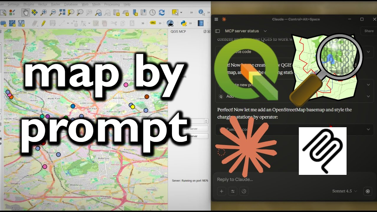
QGIS MCP connects QGIS wtth agentic AI through Claude desktop. And the results are... surprising.

by O Burdekin
click to read more...
In this video I look at using geoparquet to download buildings and building heights using QGIS.
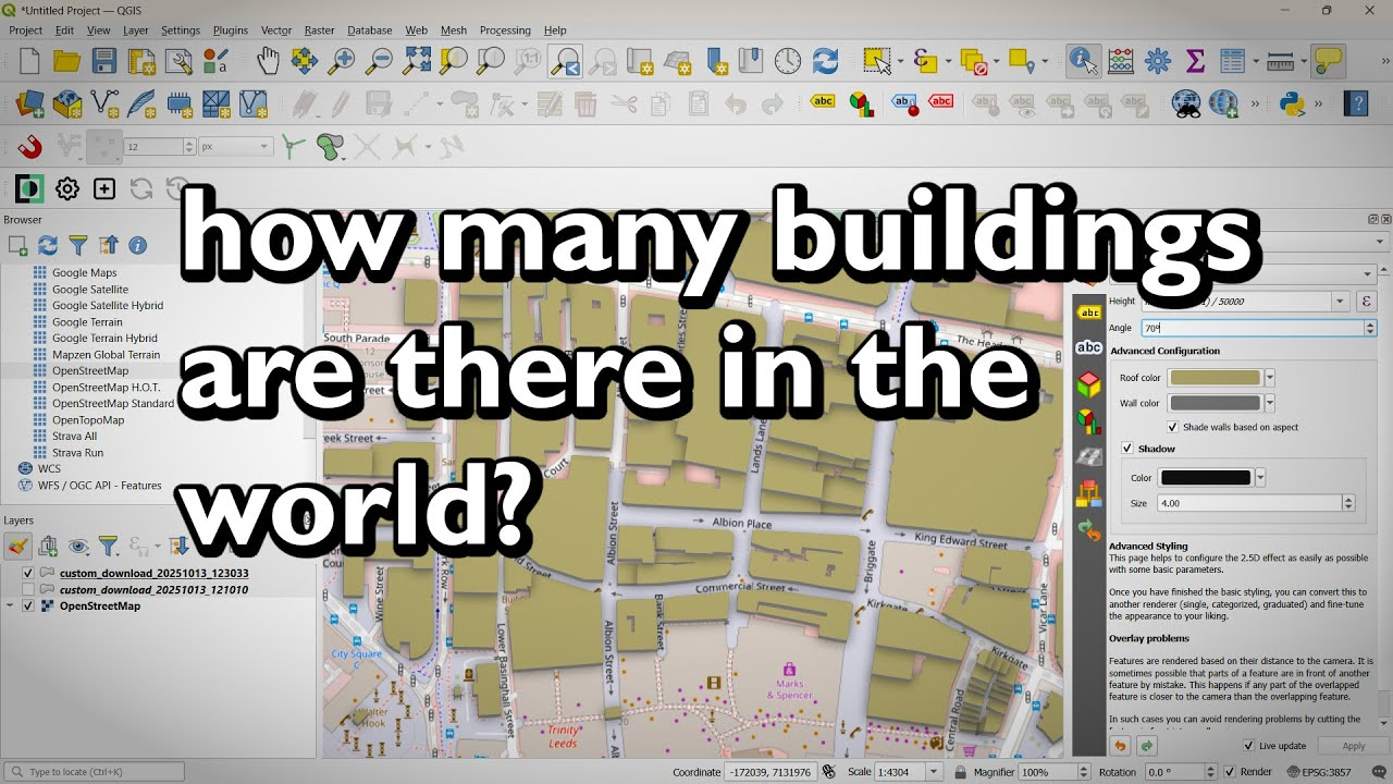
by O Burdekin
click to read more...
Viewer Miro had a question about downloading xyz tiles for offline use. You can do this by making your own .mbtiles files in QGIS.
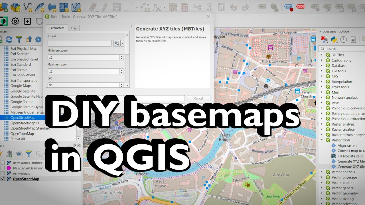
by O Burdekin
click to read more...
Learn how to use the Python console in QGIS to add XYZ tile basemaps, print the CRS of every layer, and count features automatically. I also show how ChatGPT can ...

by O Burdekin
click to read more...